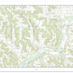
Aerial Photographs Satellite Images And Topographic Maps Lab Report
Aerial photographs satellite images and topographic maps lab report – In the realm of spatial analysis, aerial photographs, satellite images, and topographic maps stand as indispensable tools, providing a comprehensive…
Read more »